Winter Hours: Closed for Season
Shaver Lake Geomembrane Project 2012
$10.80
Shaver Lake Geomembrane Project and Mill Site
Phase I of the Shaver Lake Geomembrane Project occurred during the 2010/2011 winter season.
Shaver Lake was lowered below standard water levels to attach the geomembrane liner to the
upper portion of Shaver Dam. This required minimal mitigation due to the low project impact.
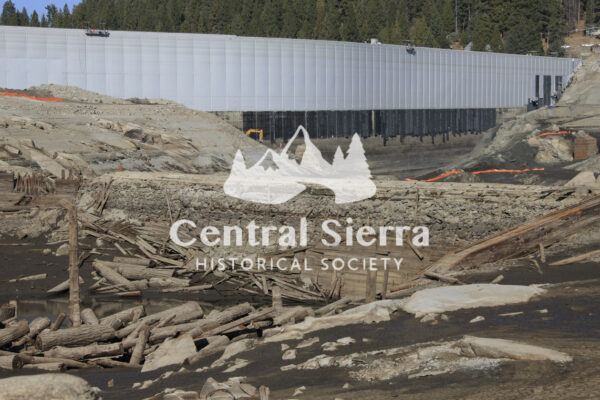
Phase II of the project, as many saw during the 2011/2012 winter, required that the lake be
drained to stream levels so that Southern California Edison Company (SCE) could attach a
geomembrane liner to the lower portion of Shaver Dam. As part of the permitting process, SCE
agreed to protect public safety and sensitive resources in and around the lake. The security
measures established kept the public from the hazards of the lake bottom as well as, protected
cultural resources. During the project the public was able to see the mill pond dam and the rock
foundation of the Shaver Mill from above the high water mark. The mill had been submerged
since the lake was filled in 1927.
As part of the drawdown of the lake, the mill site was recorded by a team of archaeologists. The
archaeological team was made up of representatives from Pacific Legacy, SCE, CalFire, USDA Forest.
The information on this CD contains 800 + views from the bottom of the lake with the focus
on the mill area. These can be viewed without contending with extreme temperatures and safety
hazards. During the project, the SCE helicopter was brought in and provided an opportunity to
shoot aerial photos of the drained lake. The photos on this DVD are provided by SCE.


